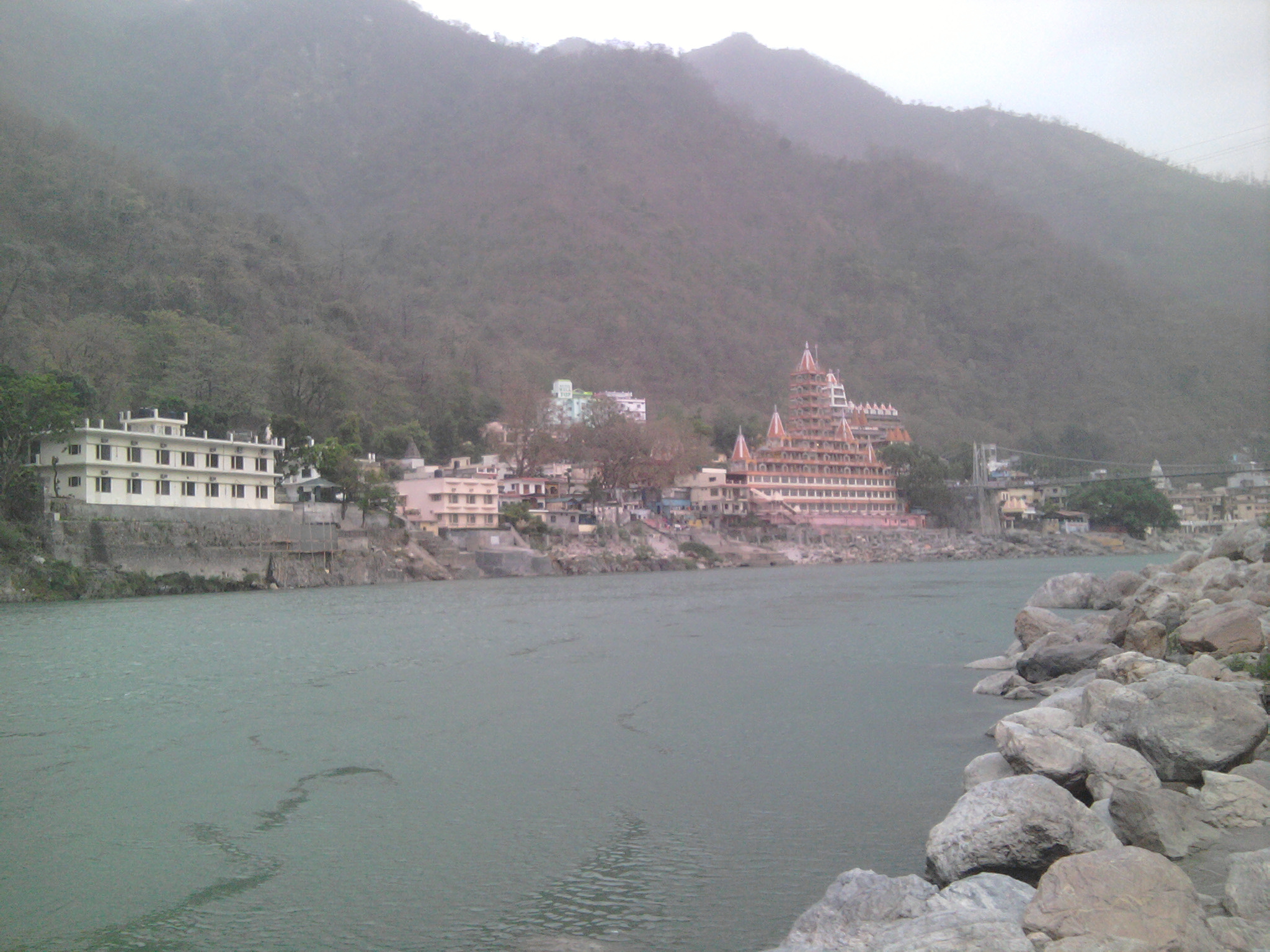
Datos de Srīnagar
| área | 7.6 km² |
| Poboación | 110.008 |
| Poboación masculina | 53.605 (48.7%) |
| Poboación feminina | 56.403 (51.3%) |
| Cambio de poboación (1975 to 2020) | +1.8% |
| Cambio de poboación (2000 to 2020) | -8.2% |
| Idade media | 24.5 anos (Home: 23, Muller: 25.9) |
| Hora local | |
| Zona horaria | hora da India |
| Lat & Lng | 30.22243, 78.78341 |
| Códigos Postais | 246178 |
Mapa de Srīnagar
Mapa interactivo
Poboación de Srīnagar
Anos 1975 a 2020
| Data | 1975 | 1990 | 2000 | 2015 | 2020 |
|---|---|---|---|---|---|
| Poboación | 108.044 | 117.463 | 119.888 | 106.260 | 110.008 |
| Densidade de poboación | 14.169,7 / km² | 15.405 / km² | 15.723 / km² | 13.935,7 / km² | 14.427,3 / km² |
Fontes: JRC (European Commission's Joint Research Centre) traballa no GHS built-up grid
Cambio de poboación de Srīnagar desde 2000 ata 2015
Diminución do 11.4% desde o ano 2000 ata 2015
| Localización | Cambio desde 1975 | Cambio desde 1990 | Cambio desde 2000 |
|---|---|---|---|
| Srīnagar | -1.7% | -9.5% | -11.4% |
| State of Uttarakhand | +110.3% | +53.2% | +26.2% |
| India | +111.1% | +50.6% | +24.5% |
Fontes: JRC (European Commission's Joint Research Centre) traballa no GHS built-up grid
Idade media de Srīnagar
Idade media: 24.5 anos
| Localización | Idade media | Idade mediana (muller) | Idade mediana (macho) |
|---|---|---|---|
| Srīnagar | 24.5 yrs | 25.9 yrs | 23 yrs |
| State of Uttarakhand | 24 yrs | 24.7 yrs | 23.3 yrs |
| India | 24.9 yrs | 25.4 yrs | 24.5 yrs |
Fontes: CIESIN (Center for International Earth Science Information Network)
Densidade de poboación de Srīnagar
Densidade de poboación: 14.427 / km²
| Localización | Poboación | área | Densidade |
|---|---|---|---|
| Srīnagar | 110.008 | 7,6 km² | 14.427 / km² |
| State of Uttarakhand | 11,1 million | 53.694,7 km² | 207 / km² |
| India | 1.307 million | 3.083.563,4 km² | 424 / km² |
Fontes: JRC (European Commission's Joint Research Centre) traballa no GHS built-up grid
Poboación histórica e proxectada de Srīnagar
Poboación estimada desde 0 ata 2100
Fontes:
- JRC (European Commission's Joint Research Centre) traballa no GHS built-up grid
- CIESIN (Center for International Earth Science Information Network)
- [Ligazón] Klein Goldewijk, K., Beusen, A., Doelman, J., and Stehfest, E.: Anthropogenic land use estimates for the Holocene – HYDE 3.2, Earth Syst. Sci. Data, 9, 927–953, https://doi.org/10.5194/essd-9-927-2017, 2017.
Índice de desenvolvemento humano (HDI)
Índice composto estatístico da esperanza de vida, educación e ingresos per cápita.
Fonte: [Ligazón] Kummu, M., Taka, M. &Guillaume, J. Gridded global datasets for Gross Domestic Product and Human Development Index over 1990–2015. Sci Data 5, 180004 (2018) doi:10.1038/sdata.2018.4
Emisións de CO2 de Srīnagar
Emisións de dióxido de carbono (CO2) por habitante en toneladas ao ano
| Localización | Emisións de CO2 | Emisións de CO2 per cápita | Intensidade de emisións de CO2 |
|---|---|---|---|
| Srīnagar | 172,924 tn | 1.57 tn | 22,678.5 tons/km² |
| State of Uttarakhand | 18,382,127 tn | 1.66 tn | 342.3 tons/km² |
| India | 1,928,568,344 tn | 1.48 tn | 625.4 tons/km² |
Fontes: [Ligazón] Moran, D., Kanemoto K; Jiborn, M., Wood, R., Többen, J., and Seto, K.C. (2018) Carbon footprints of 13,000 cities. Environmental Research Letters DOI: 10.1088/1748-9326/aac72a
Emisións de CO2 de Srīnagar
| Emisións de CO2 de 2013 (toneladas/ano) | 172,924 tn |
| Emisións de CO2 de 2013 (toneladas/ano) per cápita | 1.57 tn |
| Intensidade das emisións de CO2 de 2013 (toneladas/km²/ano) | 22,678.5 tons/km² |
Riscos naturais
Relative risk out of 10
| Perigo | Risk Level |
|---|---|
| Drought | High (8) |
| Flood | High (8) |
| Earthquake | High (8) |
| Landslide | Medium (6) |
* Risk, particularly concerning flood or landslide, may not be for the entire area.
Fontes:
- Dilley, M., R.S. Chen, U. Deichmann, A.L. Lerner-Lam, M. Arnold, J. Agwe, P. Buys, O. Kjekstad, B. Lyon, and G. Yetman. 2005. Natural Disaster Hotspots: A Global Risk Analysis. Washington, D.C.: World Bank. https://doi.org/10.1596/0-8213-5930-4.
- Center for Hazards and Risk Research - CHRR - Columbia University, Center for International Earth Science Information Network - CIESIN - Columbia University, and Norwegian Geotechnical Institute - NGI. 2005. Global Landslide Hazard Distribution. Palisades, NY: NASA Socioeconomic Data and Applications Center (SEDAC). https://doi.org/10.7927/H4P848VZ.
- Center for Hazards and Risk Research - CHRR - Columbia University, Center for International Earth Science Information Network - CIESIN - Columbia University, and International Research Institute for Climate and Society - IRI - Columbia University. 2005. Global Drought Hazard Frequency and Distribution. Palisades, NY: NASA Socioeconomic Data and Applications Center (SEDAC). https://doi.org/10.7927/H4VX0DFT.
- Center for Hazards and Risk Research - CHRR - Columbia University, Center for International Earth Science Information Network - CIESIN - Columbia University. 2005. Global Flood Hazard Frequency and Distribution. Palisades, NY: NASA Socioeconomic Data and Applications Center (SEDAC). https://doi.org/10.7927/H4668B3D.
- Center for Hazards and Risk Research - CHRR - Columbia University, Center for International Earth Science Information Network - CIESIN - Columbia University. 2005. Global Earthquake Hazard Distribution - Peak Ground Acceleration. Palisades, NY: NASA Socioeconomic Data and Applications Center (SEDAC). https://doi.org/10.7927/H4BZ63ZS.
Terremotos recentes nas proximidades
Magnitude 3,0 e superior
| Data▼ | Hora↕ | Magnitude↕ | Distance↕ | Profundidade↕ | Localización↕ | Ligazón |
|---|---|---|---|---|---|---|
| 6/14/18 | 12:42 AM | 4.4 | 85.6 km | 10,000 m | 9km ENE of Barkot, India | usgs.gov |
| 6/6/18 | 5:41 PM | 4.5 | 60.6 km | 10,000 m | 45km E of Uttarkashi, India | usgs.gov |
| 12/6/17 | 3:19 PM | 5.1 | 58.2 km | 10,000 m | 35km NW of Pipalkoti, India | usgs.gov |
| 2/6/17 | 5:03 PM | 5.1 | 60.3 km | 16,050 m | 36km NW of Pipalkoti, India | usgs.gov |
| 7/18/15 | 11:48 PM | 4.4 | 43.5 km | 10,000 m | 24km NE of Rudraprayag, India | usgs.gov |
| 4/1/15 | 9:23 PM | 4.9 | 71.4 km | 10,000 m | 10km SSE of Pipalkoti, India | usgs.gov |
| 2/11/13 | 10:48 AM | 4.6 | 96.4 km | 10,000 m | 21km NNE of Barkot, India | usgs.gov |
| 11/27/12 | 12:15 PM | 4.4 | 82.7 km | 23,400 m | Uttaranchal, India | usgs.gov |
| 2/9/12 | 7:17 PM | 5.1 | 97.4 km | 6,200 m | Uttaranchal, India | usgs.gov |
| 6/20/11 | 6:27 AM | 4.9 | 68.4 km | 14,300 m | Uttaranchal, India | usgs.gov |


Sobre os nosos datos
Os datos desta páxina son estimados usando varias ferramentas e recursos dispoñibles publicamente. Proporciónanse sen garantía e poden conter imprecisións. Úseos baixo o seu propio risco.